Researchers: David Noyce (PI), Ghazan Khan, Andrea Bill, Madhav Chitturi
Primary Project Objectives
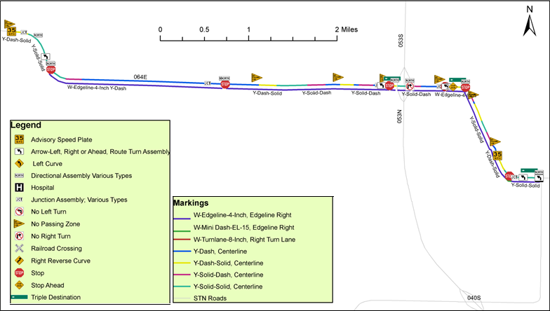
The objective of this research was to evaluate safety of horizontal curves with respect to curve geometric characteristics and sign data. The focus was on collecting a good quality large dataset to develop models and explore the relationship between safety on horizontal curves and sign types, specifically curve and turn signs. The research team integrated various data sources including crash, traffic volume, signing, pavement marking, curve, road geometry for the entire State Trunk Network in Wisconsin.

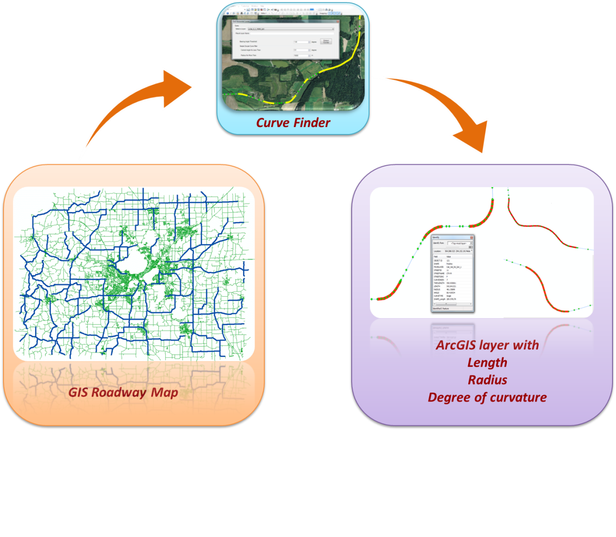
Obtaining curve data in a cost-effective way is of great interest for both and practitioners and researchers. A fully automated method for extraction of horizontal curve data from GIS roadway maps was developed in this project and implemented as a customized Add-In tool in ArcMap®. With this tool, CurveFinder, horizontal curves can be automatically identified from GIS roadway maps. In addition, the length, radius, and central angle of the curves are also automatically computed at the same time.

The 2009 Manual on Uniform Traffic Control Devices (MUTCD) requires that an engineering study be performed on curves to determine the advisory speed. Hence there is a need for developing a methodology that can be easily applied in the field with minimal manpower and resources. The objective of this research is to integrate the information provided by GPS, ball bank indicators and process them to obtain the advisory speeds for curves in an automated manner.
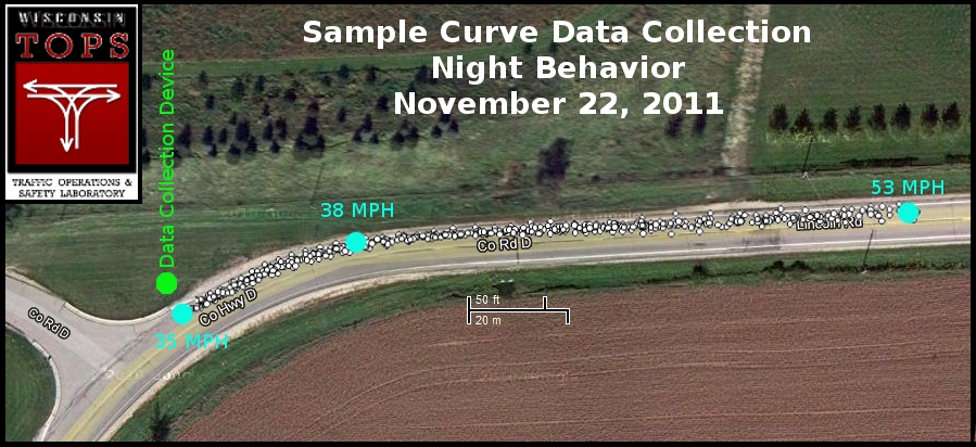
The objective of this research was to develop a mobile data collection system that can record trajectory information of individual vehicles in order to study driver behavior as well as surrogate safety performance of various speed reduction or safety treatments in the field. Roadway inventory, traffic and crash data were also integrated in a GIS framework.
